Leica Geosystems 3D Milling Keeps Yield on Track
BY AsphaltPro Staff
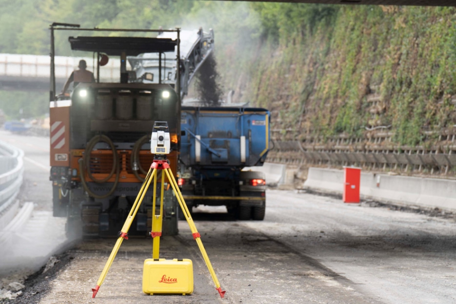
3D solutions for paving are nothing new to Leica Geosystems, part of Hexagon, headquartered in Heerbrugg, Switzerland. In 1999, the company launched its 3D stringless solutions for concrete and asphalt paving and in 2006 introduced its first 3D milling solutions.
But, in the past few years, Leica Geosystems has taken several steps to raise the bar on its 3D milling solutions. In 2018, it launched its third generation profile milling solution within Leica Geosystems’ MC1 iCON pave and also its differential milling solution iCON site milling pilot.
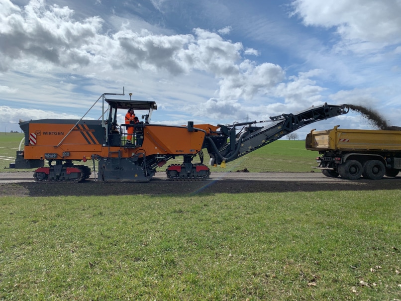
Leica Geosystems’ differential milling solution works with just a GNSS receiver mounted on the machine because the system uses only the machine’s x and y coordinates.
According to Juergen Seemann, Business Development Manager Road and Compaction at Leica Geosystems, machine control technology can help prevent over-milling and subsequent over-paving, thereby helping to reduce the carbon footprint of road construction.
“Both methods also provide bottom line higher accuracy on the milled surface, avoiding copy effects and thereby preparing a better ground for the following placement process,” Seemann said. “Our contractors aren’t just looking into the milling process but the entire road renovation process. When the milling is done right, the asphalt paving job will be easier and higher quality.”
For example, on a recent project in Switzerland, a contractor was milling asphalt placed on a concrete bridge. “It was very important that they didn’t cut too deep because they could damage the concrete foundation of the bridge and that would result in very costly rework,” Seemann said. The contractor used ground penetrating radar from Hexagon to measure the thickness of the asphalt pavement and used this information to create a profile of the existing surface and the design surface for use with Leica Geosystems’ differential milling solution. “It’s not always the big jobs that most benefit from 3D milling solutions,” Seemann said. “3D technology can be just as important on smaller jobs like this one.”
How Leica Geosystems’ 3D Milling Solutions Work
Leica Geosystems’ iCON site milling pilot is a differential milling solution where the contractor uses two files—one of the current surface, one of the design surface—and Leica Geosystems’ software calculates the difference between the top surface and the target to determine how much material to mill off that exact location. According to Seemann, Leica Geosystems’ differential milling solution works with just a GNSS receiver mounted on the machine because the system uses only the machine’s x and y coordinates.
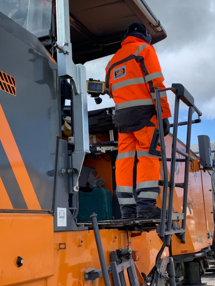
Leica Geosystems’ MC1 iCON pave features a profile milling solution, which requires a prism to be mounted on the milling machine and tracked by total stations placed on the road to be milled. The total station automatically measures the position and height of the machine down to its milling bits in millimeter accuracy and the system compares that to the digital reference model. Any deviations are then sent to the machine controller for correction. “Both systems use 3D technology and offer similar results, but the concept is different,” Seemann said.
“It isn’t a matter of one solution versus the other,” he added. “Together, they offer a complete portfolio of 3D milling solutions our customers can choose from based on their requirements.”
Differential or Profile?
Seemann said there are a number of factors to consider when choosing which solution is right for a particular contractor. For example, contractors performing a variety of activities may already have Leica Geosystems’ MC1 platform in their ecosystem, which offers machine control solutions for equipment ranging from excavators, soil rollers, graders to loaders. So, it might make more sense to opt for Leica Geosystems’ profile milling solution.
“They’d have the experience and partly the hardware to make it easier to adapt this technology to milling,” Seemann said, adding that the use of total stations makes this solution a bit more complex. “The user who positions the total station has to have a certain knowledge and understanding of surveying topics, so this solution is more complex than just having a GNSS receiver mounted on your machine.”
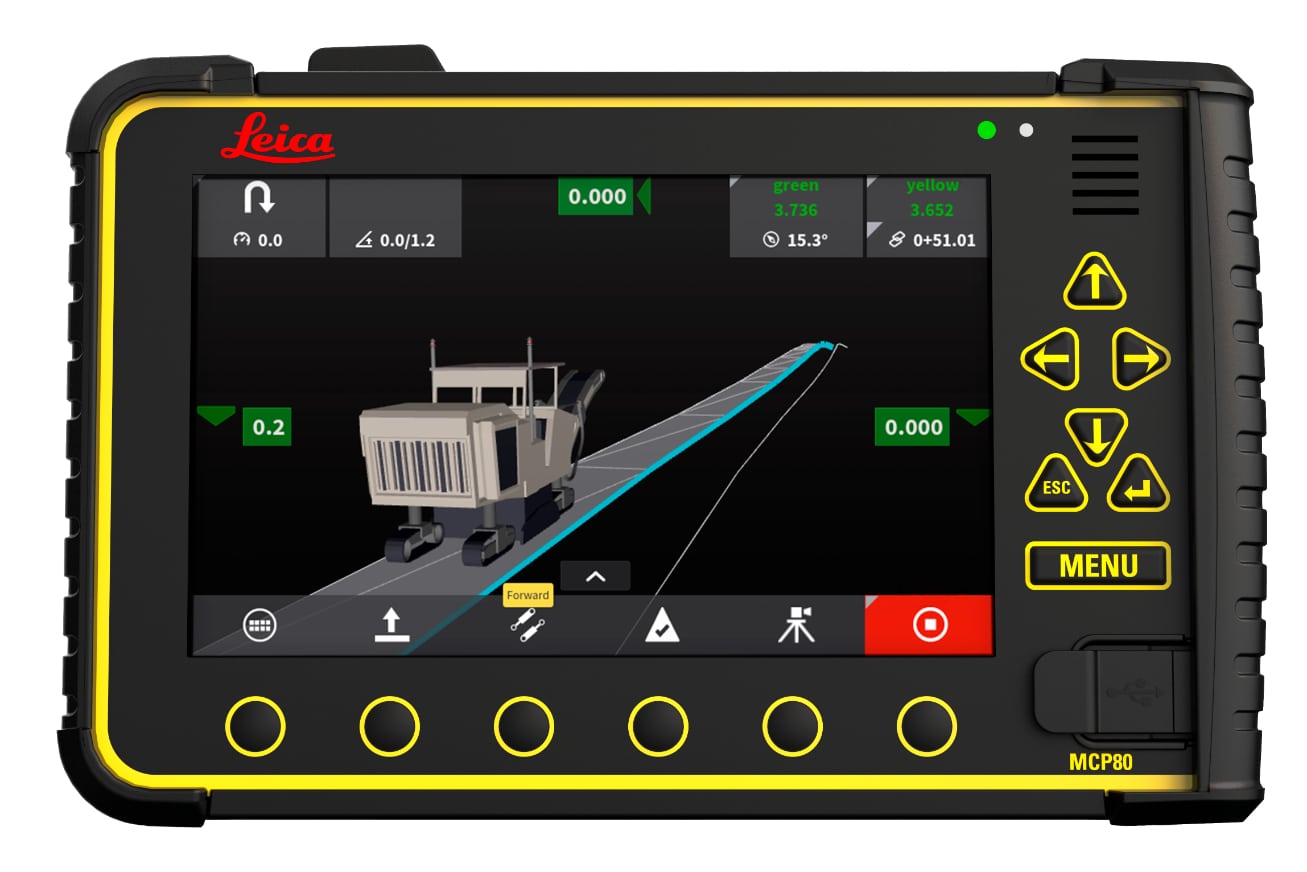
Leica Geosystems Profile Millilng solution
“For milling contractors who want to use 3D technology but don’t have a lot of experience, Leica Geosystems’ iCON site milling pilot might be an easier way to step into this type of technology,” Seemann said. “It doesn’t provide all the features we have in MC1, but is a good entry solution.”
Seemann recommends profile milling for complex projects such as race tracks, jobs with slope correction and other projects that require millimeter precision. But for jobs where there may be several milling machines working at once, the need for one total station for each machine makes the process even more complex. “In this case, differential milling would be simpler to use because it only requires the GNSS on top of each machine.”
Seemann said the key difference—apart from the different concept—is that total stations achieve a level of precision not possible with GNSS, but added that Leica Geosystems’ differential milling solution can also be used with total stations. “This is a great feature for jobs in areas that don’t have a GNSS signal, like a tunnel or in a downtown area with a lot of tall buildings,” Seeman said. “That gives contractors using that system more flexibility.”
Another difference between the two solutions is the functionality to Leica Geosystems’ ConX cloud platform. Both 3D milling solutions offer data sharing and reference file storage features, but ConX offers additional features such as remote support and storage of surface log data taken in profile milling.
![]()
At Bauma 2022, Leica Geosystems showed its new Safety Awareness Solution. “If an employee comes too close to the danger zone of a machine, our system will give a warning to the operator via the control panel on the machine,” Seemann said. “This solution is integrated into our MC1 platform, it does not need another panel, and the data is stored in ConX for later analysis.”
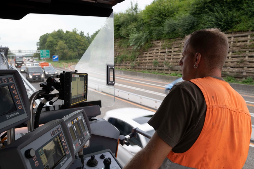
The Leica Geosystems’ MC1 profile milling solution is available on all main machine brands, including Wirtgen, Bomag, Roadtec and XCMG. The differential solution offers manual mode on any brand of milling machine and automatic mode on Wirtgen machines equipped with 3D kits. With manual mode, the operator sees how deep to cut at any given point and must input this data into the machine themselves, whereas the data is automatically transferred to the machine controller with automatic mode.
Leica Geosystems continues to expand 3D solution support to more OEM (original equipment manufacturer) partners. “We believe customers shall make their choice about their preferred 3D technology provider regardless of which machine brand they want to use,” Seemann said.
